

Movement is afoot to significantly improve accessibility in commercial aviation. Indeed, for the second year running, accessibility joined sustainability as the biggest trends to emerge from the Aircraft Interiors Expo in Hamburg, with several prominent stakeholders now working on projects that would accommodate wheelchair users in-flight and provide accessible inflight entertainment to passengers with disabilities. Adding to this momentum, leading inflight moving map provider FlightPath3D today introduced its new Accessibility Map, a simplified high-contrast display designed specifically for travelers with visual, motor, and/or cognitive impairments.
“Every traveler, regardless of background, age or ability, should have easy access to important details about their flight and enjoy the fun of tracking their plane as they fly,” FlightPath3D president Duncan Jackson declared in announcing the Accessibility Map, which is available for airlines today with initial deployments expected in first quarter 2025.
“We recognize the importance of creating an inclusive inflight experience and the Accessibility Map, featuring a streamlined interface and visibility enhancements, is a major step toward our goal of providing maps for all passengers.”
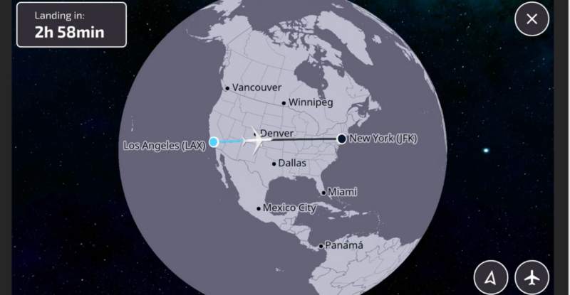
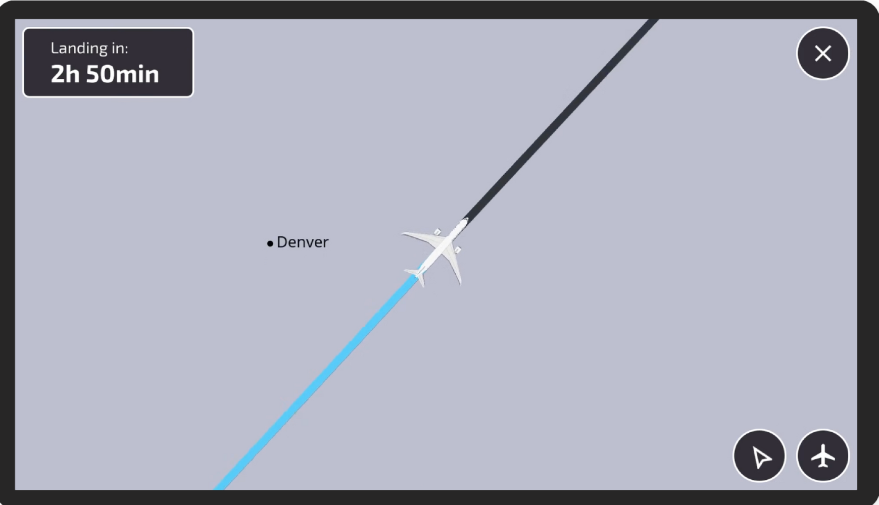
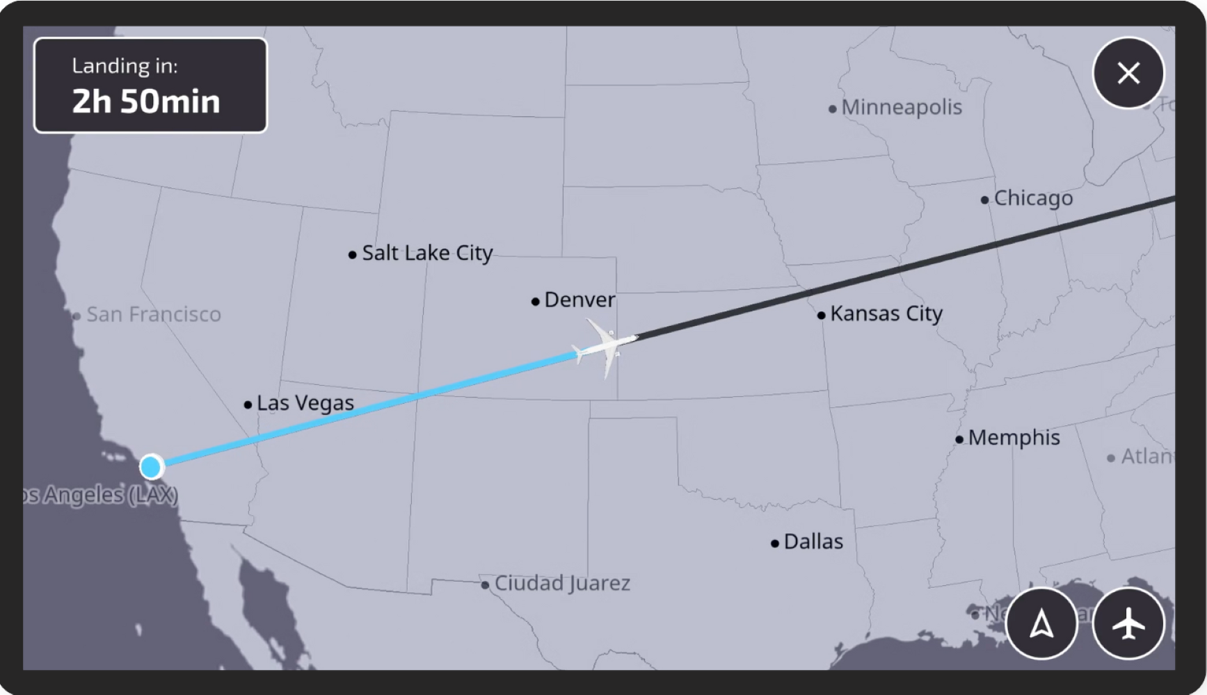
FlightPath3D is best known for delighting passengers by supplying 3D inflight moving map software — for both in-seat and wireless IFE systems — that offers flight progress updates, suggestions for things to do, and trip ideas. Points of interest are described with detailed text and complemented by videos and pictures. In many ways, due to the visual nature of the map, this rich and engaging experience is already largely accessible to the deaf and hard of hearing. But FlightPath3D knew it could go further to make its map accessible to more passengers.
The first iteration of FlightPath3D’s Accessibility Map includes high contrast and larger visuals, and flexible navigation controls. A simplified interface prioritizes major cities and borders to reduce clutter and increase readability of the display.
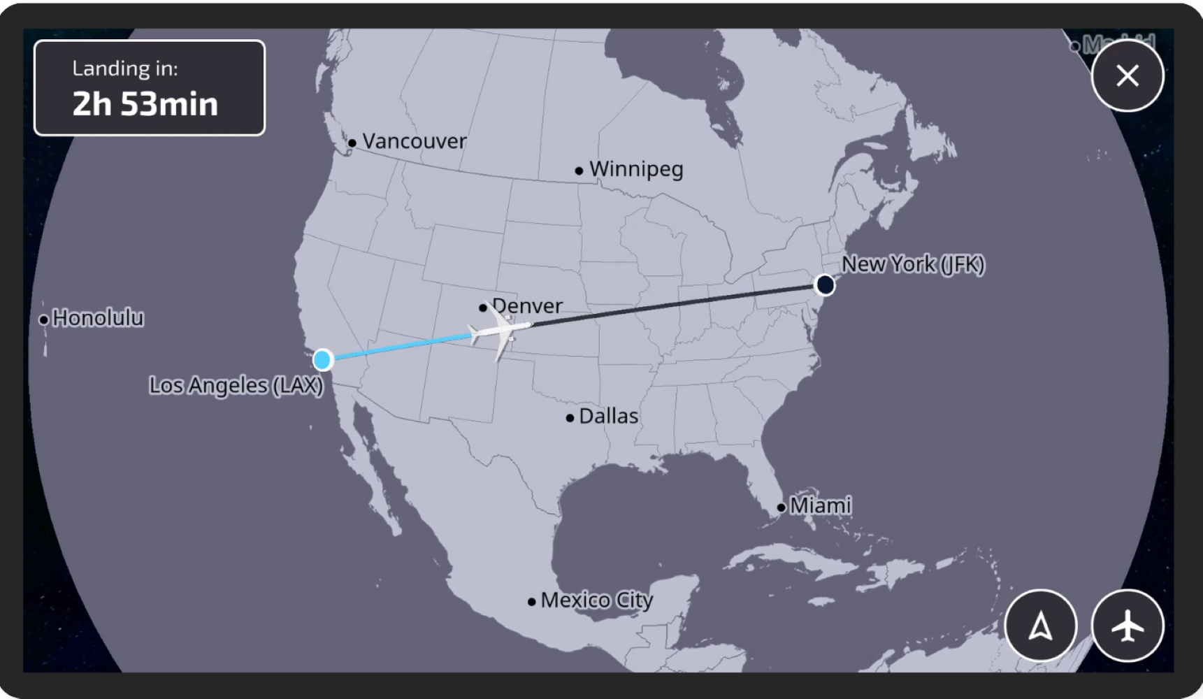
Airlines have options around text and icon sizes, while passengers have options for using zoom button and finger gestures for display control. All travelers on board can use the accessibility interface when deployed if they so choose.
“Accessibility will be an option with every map going forward. If there is a setting in the inflight entertainment (IFE) system to enable accessibility mode, our map will automatically load the accessibility version of FlightPath3D,” Jackson told Runway Girl network. “We offer this enhanced accessibility mode option as part of the initial configuration, providing airlines with the flexibility to include it based on their specific needs and preferences.”
Moreover, FlightPath3D will ensure that the Accessibility Map can be seamlessly integrated into existing map deployments as a content update, allowing current clients to benefit from the updates without requiring a complete overhaul of their systems.
Importantly, FlightPath3D’s technology roadmap will see the firm add audio narration in 2025, leveraging Luci, its AI-enabled assistant, for this functionality.

“FlightPath3D is integrating text-to-speech (TTS) technology as part of its roadmap for the next release of the accessible map product. This feature is aimed at assisting visually impaired users by providing auditory guidance,” Jackson explained.
Luci will inform passengers about estimated landing time, nearby landmarks — for example, “we are 40 miles southwest of the Grand Canyon — and even loyalty offers from the airline, enhancing the user experience.
“Additionally,” said Jackson, “we are implementing large text and icons to make details easier to see, streamlined information with clearly labeled features to reduce clutter, and screen reader compatibility with alternative text descriptions for all map elements. While our current solutions are supportive of the deaf and hard of hearing, we are exploring other improvements to further enhance accessibility.”
The interface is built on standards set by Web Content Accessibility Guidelines (WCAG) 2.2 which, said the firm, ensures regulatory compliance while still providing entertainment and information for travelers.
Development and broad deployment of the Accessibility Map is a key part of FlightPath3D’s push to deliver innovation for travelers over the next 18 months. It further builds on the company’s recent improvements to its Kids’ Map interface, expanding the range of passengers served by the offerings.
Related Articles:
- Safran Passenger Innovations offers IFE Accessible Mode for free
- Accessibility improvements proposed by Delta, Collins and Boeing
- Op-Ed: Why “reg-neg” pact on accessible IFE should be preserved
- FlightPath3D seeks to revolutionize PaxEx with AI companion
- How FlightPath3D enables passengers to design travel experiences
- Lufthansa taps FlightPath3D moving map for longhaul fleet
All images credited to FlightPath3D